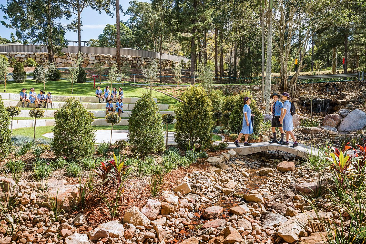
Explore Our Daisy Hill Campus
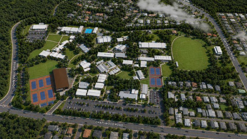
Thirty-three hectares of natural bushland in Daisy Hill — home to world-class learning, sporting and performing-arts facilities for students from Kindergarten to Year 12.
One campus. Every stage of learning.
Spaces built for every kind of learner
From a purpose-built learning centre to an aquatic centre, performance theatre and dedicated science and design precincts — explore some of the places our students learn, create and compete. Select any facility to find it on the interactive map.
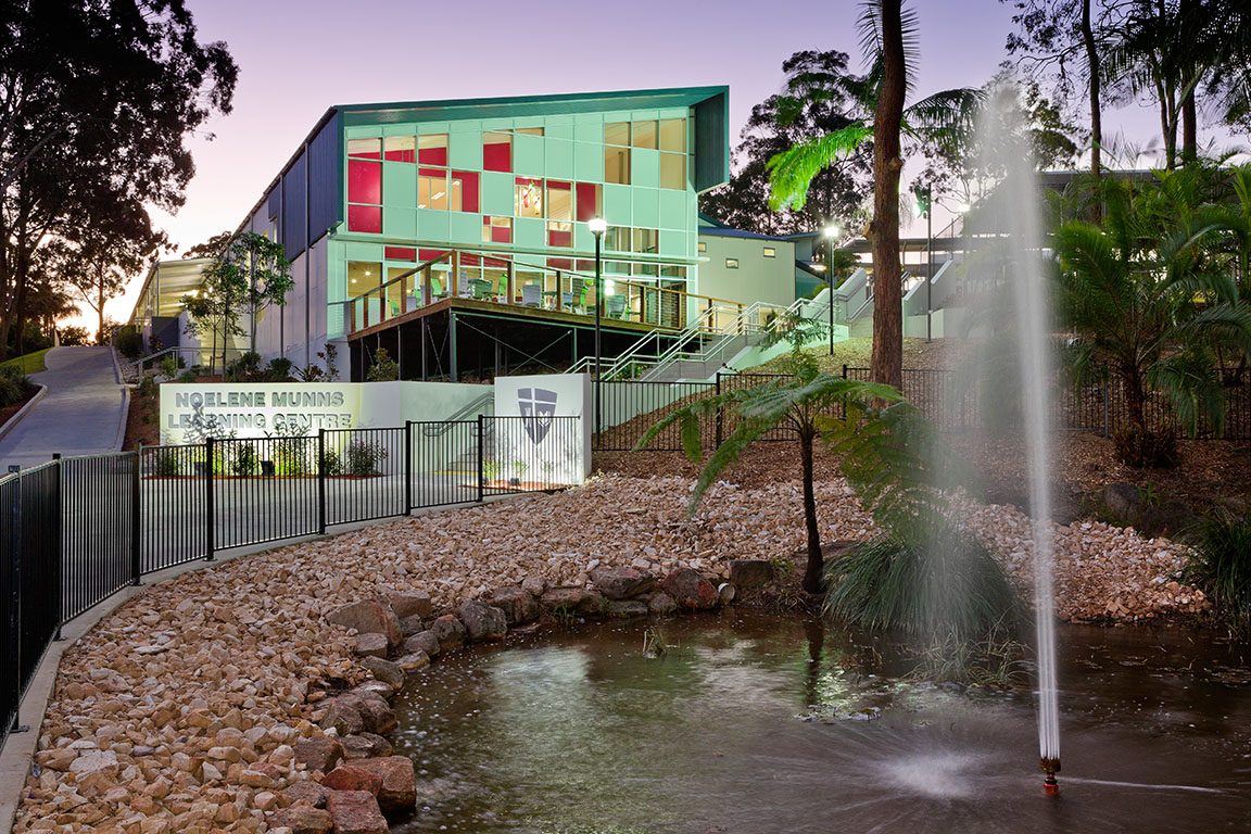
Noelene Munns Learning Centre
A modern hub for research, reading and collaboration at the heart of the campus.
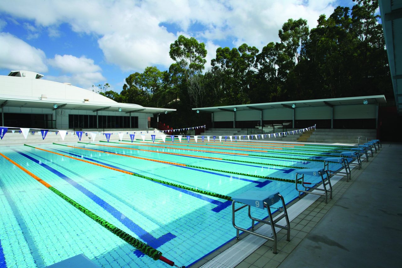
Stephen Paul Aquatic Centre
A full multi-lane pool for swimming lessons, squad training and carnivals.
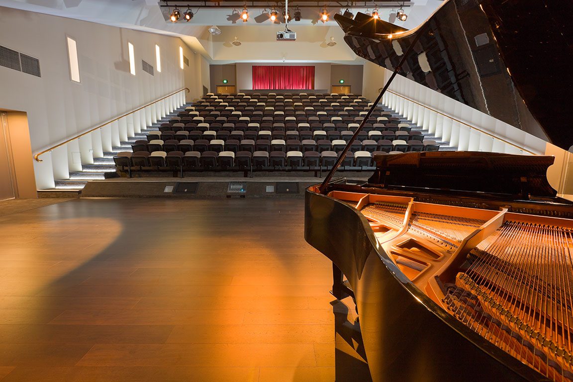
Stephen Bean Theatre
A professional-standard theatre for productions, concerts and assemblies.
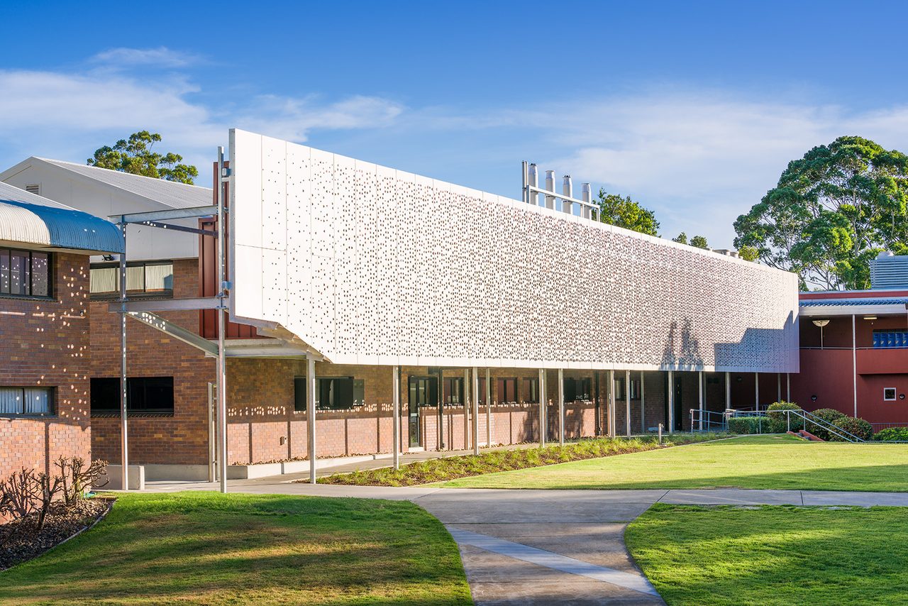
Science Centre
Purpose-built laboratories for biology, chemistry, physics and STEM.
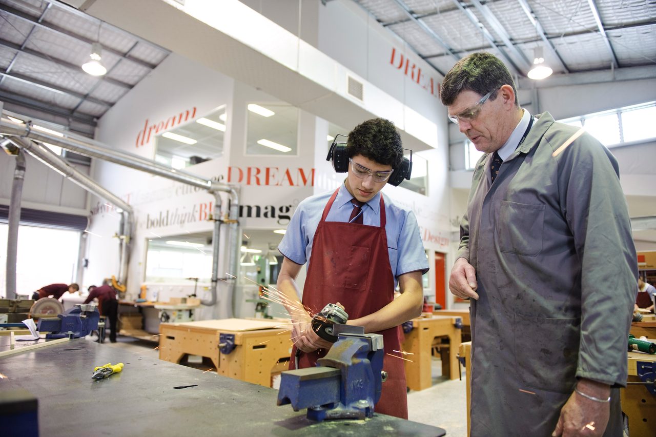
S.G. Mapstone Applied Design
Workshops where students design, build and bring ideas to life.
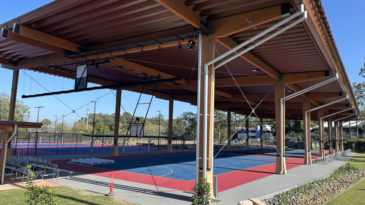
The ARC & Sports Precinct
Indoor and covered courts, ovals and the athletics recreation centre.
Step inside in 360°
Can't visit in person yet? Take an immersive 360° walkthrough of our facilities — from the pool deck and theatre stage to boarding common rooms and classrooms. Pick a place below to look around, or browse the full tour library.
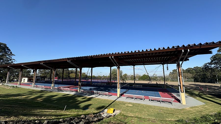 360° Tour
Sports
360° Tour
SportsTennis Precinct
Explore in 360°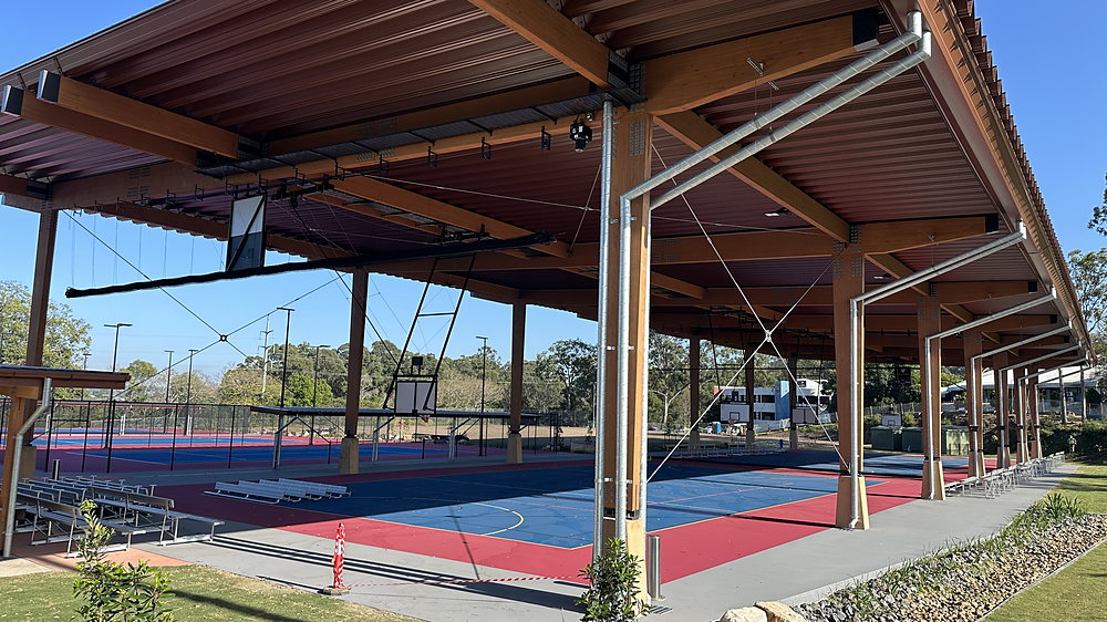 360° Tour
Sports
360° Tour
SportsOutdoor Sport Precinct
Explore in 360°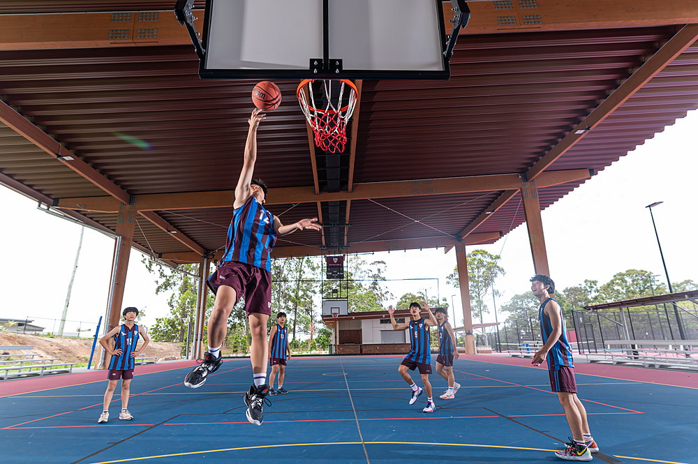 360° Tour
Sports
360° Tour
SportsIndoor Sport Precinct
Explore in 360°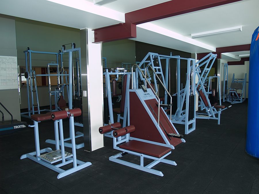 360° Tour
Sports
360° Tour
SportsGym
Explore in 360°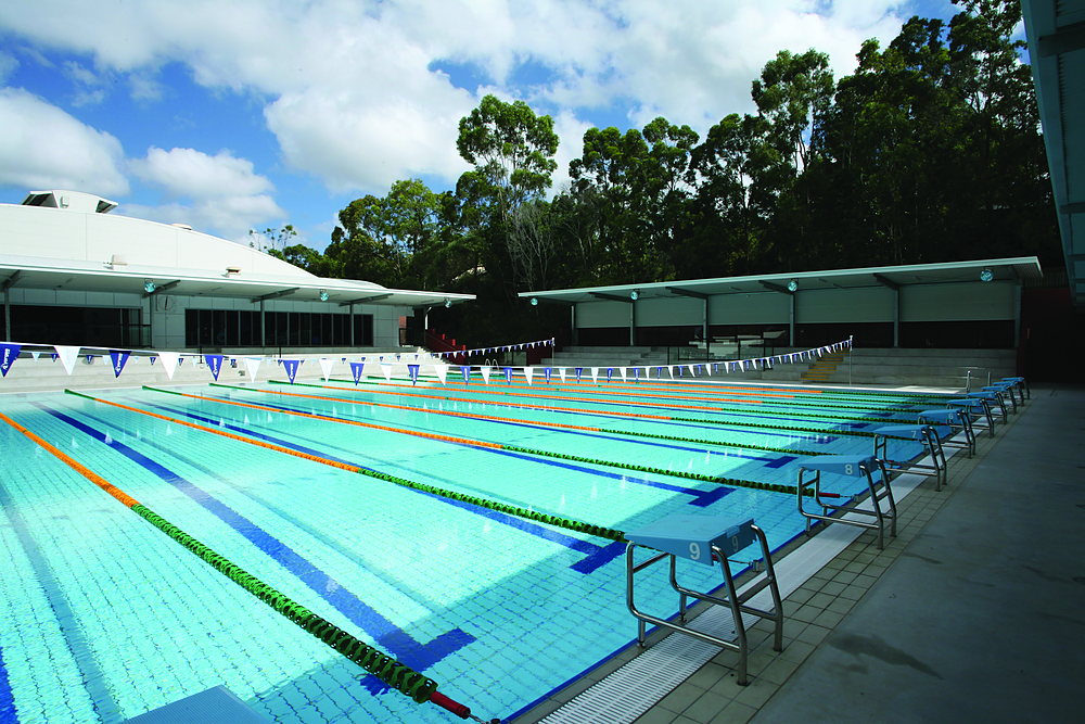 360° Tour
Sports
360° Tour
SportsSwimming Pool
Explore in 360°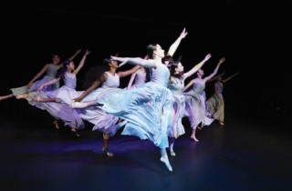 360° Tour
Performing Arts
360° Tour
Performing ArtsDance Studio
Explore in 360°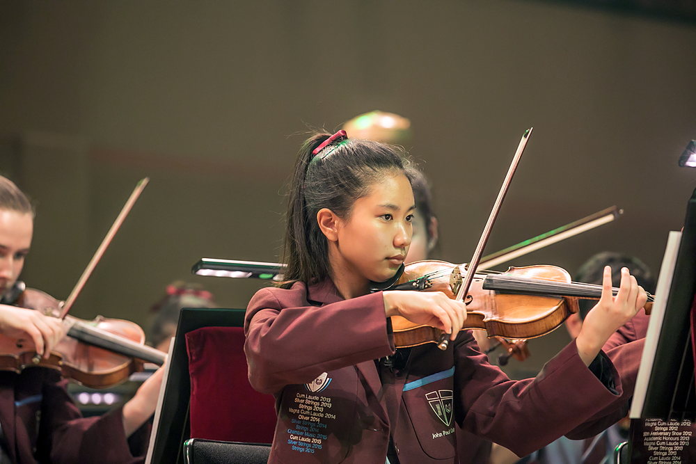 360° Tour
Performing Arts
360° Tour
Performing ArtsMusic Studio
Explore in 360°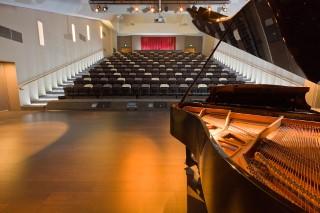 360° Tour
Performing Arts
360° Tour
Performing ArtsStephen Bean Theatre
Explore in 360°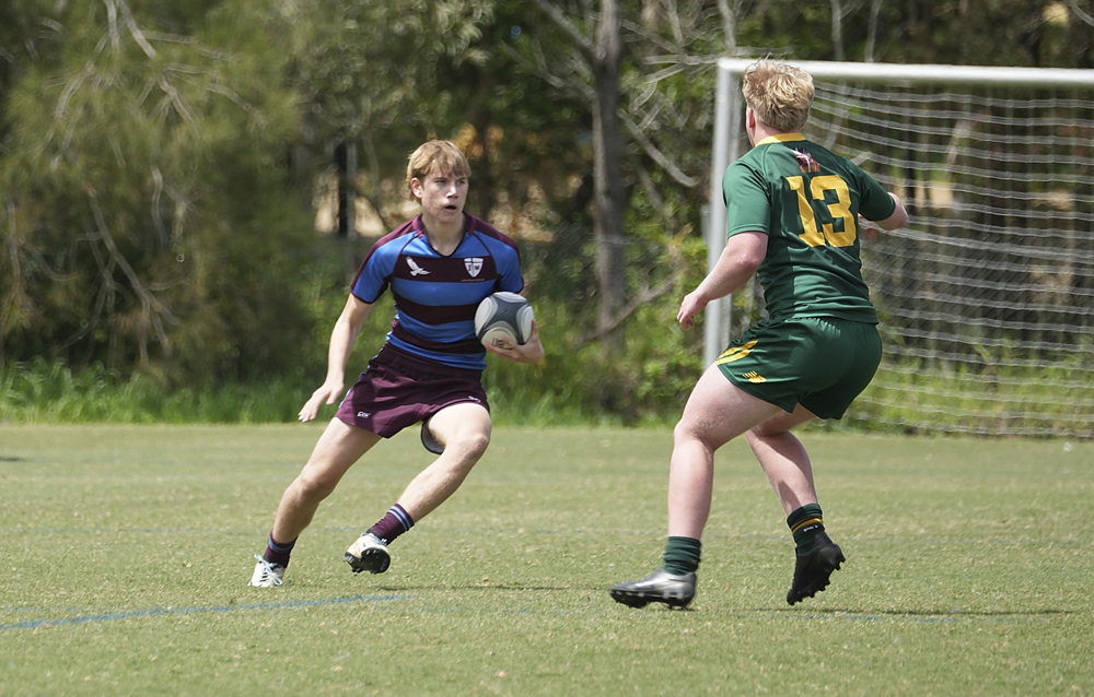 360° Tour
Performing Arts
360° Tour
Performing ArtsStadium Fields
Explore in 360°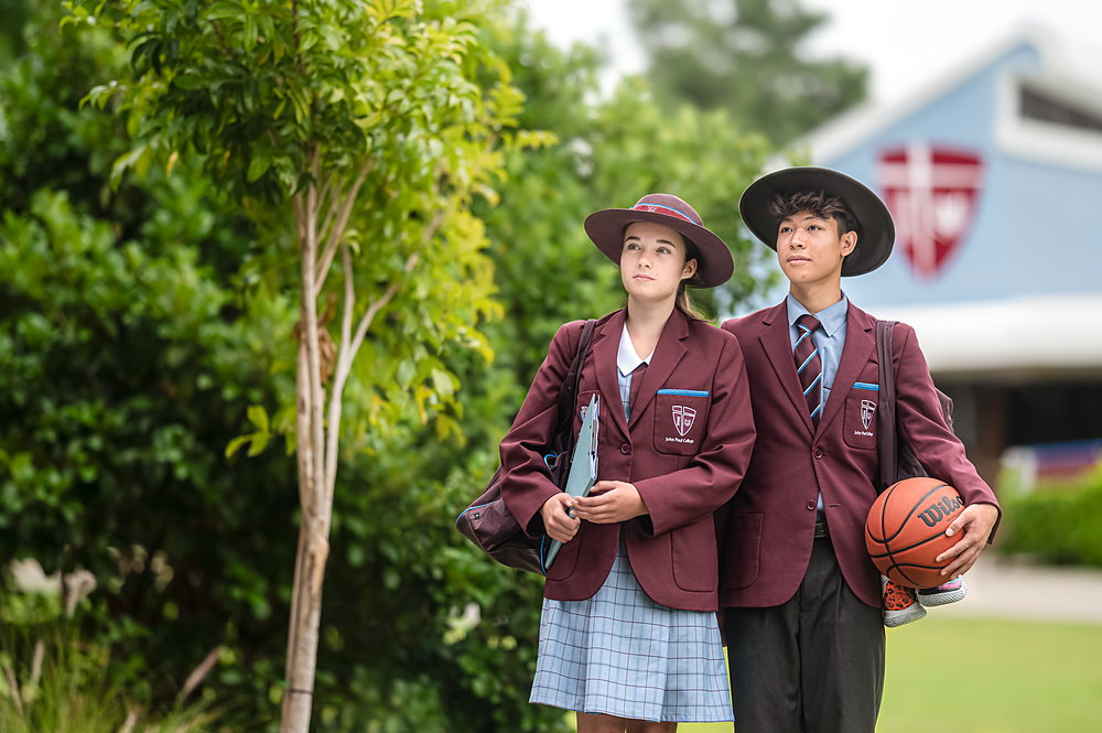 360° Tour
Secondary School
360° Tour
Secondary SchoolSenior Centre
Explore in 360°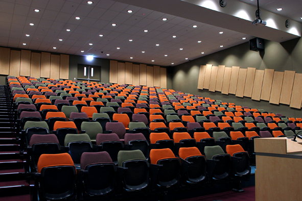 360° Tour
Secondary School
360° Tour
Secondary SchoolLecture Theatre
Explore in 360°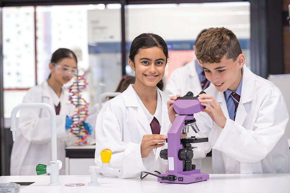 360° Tour
Secondary School
360° Tour
Secondary SchoolScience Centre
Explore in 360° 360° Tour
Secondary School
360° Tour
Secondary SchoolApplied Design
Explore in 360° Preview coming soon 360° Tour Secondary SchoolCanteen
Explore in 360°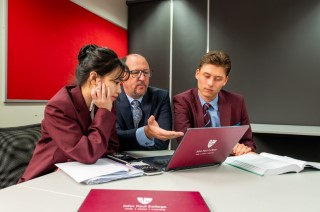 360° Tour
Secondary School
360° Tour
Secondary SchoolWesley Classroom
Explore in 360°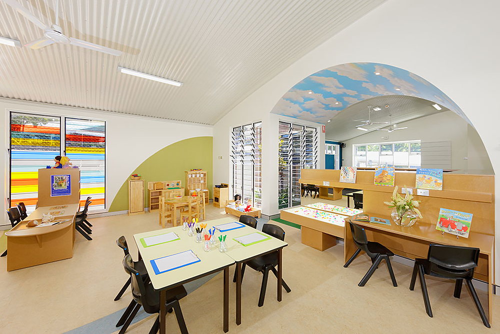 360° Tour
Primary School
360° Tour
Primary SchoolKindergarten
Explore in 360°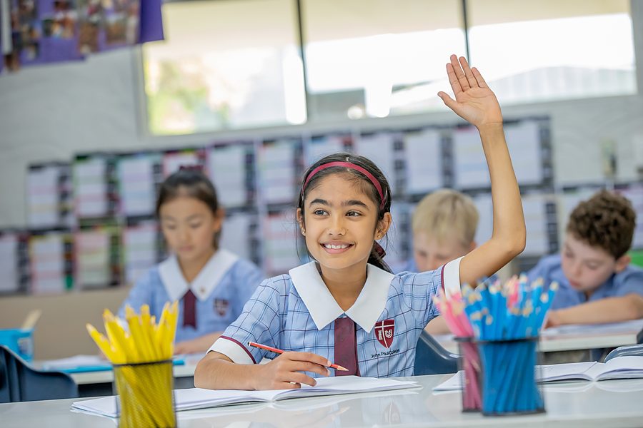 360° Tour
Primary School
360° Tour
Primary SchoolPrep Classroom
Explore in 360°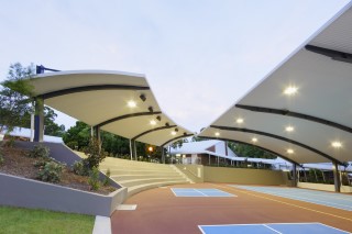 360° Tour
Primary School
360° Tour
Primary SchoolPlayground
Explore in 360°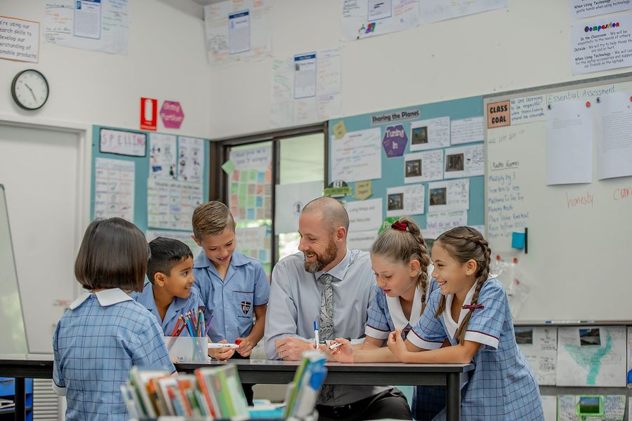 360° Tour
Primary School
360° Tour
Primary SchoolPrimary Classroom
Explore in 360° 360° Tour
Primary School
360° Tour
Primary SchoolLibrary
Explore in 360°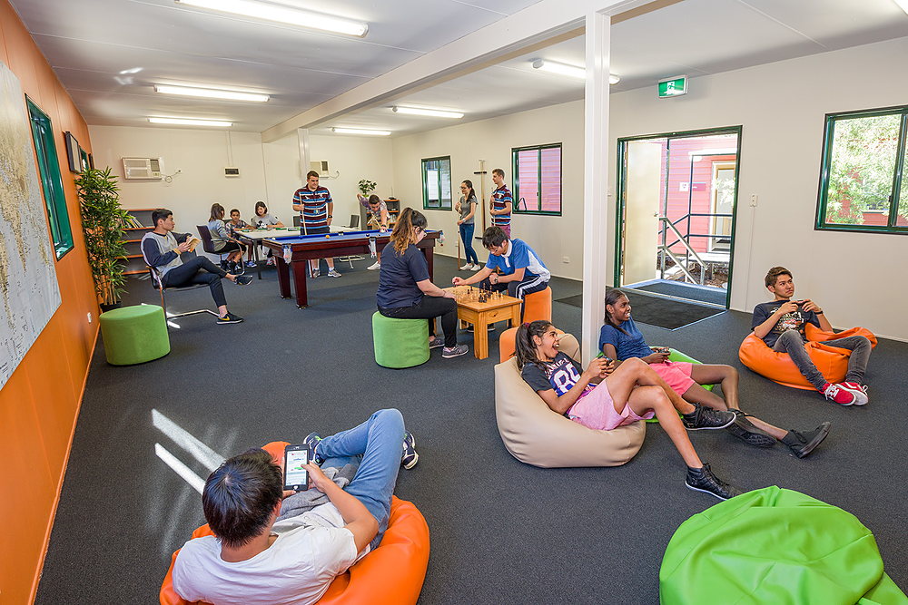 360° Tour
Boarding
360° Tour
BoardingActivities Room
Explore in 360°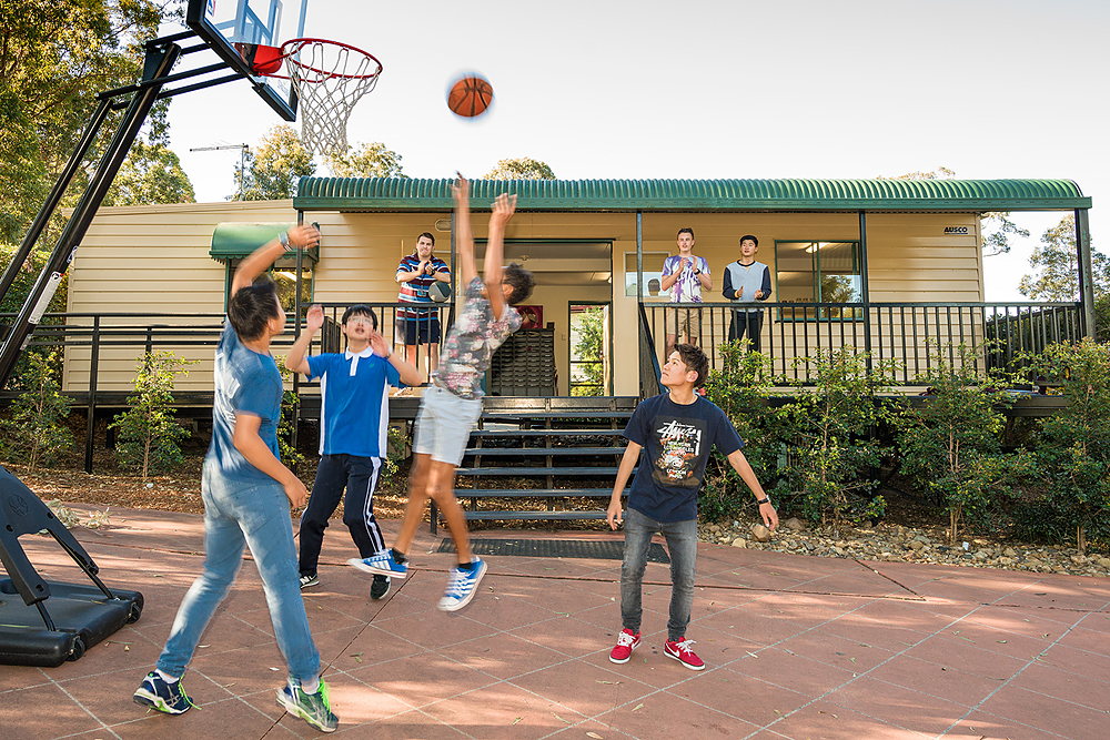 360° Tour
Boarding
360° Tour
BoardingCommon Area
Explore in 360°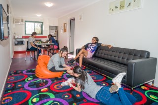 360° Tour
Boarding
360° Tour
BoardingBoarding Room
Explore in 360°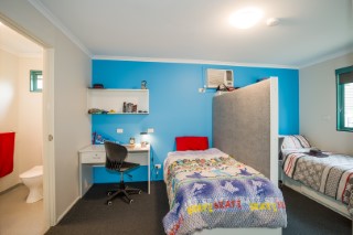 360° Tour
Boarding
360° Tour
BoardingOutdoor Activities
Explore in 360°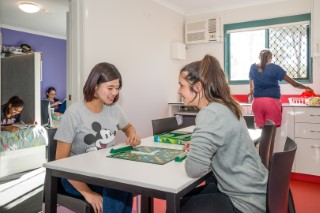 360° Tour
Boarding
360° Tour
BoardingDining Hall
Explore in 360°Find your way around campus
Start typing to find any building, facility or precinct — or expand a category below and hover a facility to pin its exact location. Switch to the 3D Aerial view to see the whole campus from above.
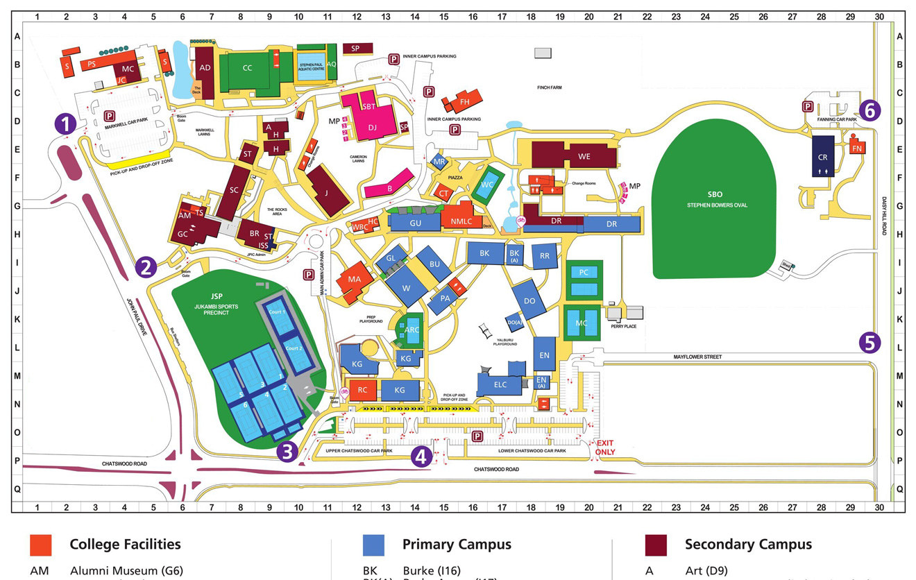
College Facilities
13Primary Campus
16Secondary Campus
12Performing Arts
4Sporting Facilities
8JPIC Campus
3Parking & Access
6Getting here
Ready to see it for yourself?
Download the full campus map, or book a personal tour to experience our facilities firsthand.